1st Workshop on Geosciences and remote sensing for sustainable development, 18-19 March 2018 - Djelfa, Algeria
18-19 March 2018 - Djelfa, Algeria
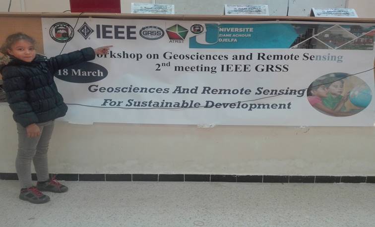
This Workshop will have the aim of the transmitting and communicating the new techniques and some research result in the field of Remote sensing and GIS and their use to the different axes of sustainable development, At the same time a parallel will be led by Dr K.LAMAMRA for a half day to the benefits PhD student and a young researchers with aims "the steps to follow to succeed a good scientific article"
Date and Time
Location
Hosts
Registration
-
 Add Event to Calendar
- Contact Event Host
-
chekali_ahmed@yahoo.fr
- Co-sponsored by Agence Thématique de Recherche en Sciences et Technologie (ATRST), Algiers, Algeria
- Survey: Fill out the survey
- Starts 02 February 2018 09:08 AM UTC
- Ends 13 March 2018 09:08 AM UTC
- No Admission Charge
Agenda
|
|
|
1st WORSHOP on "Geosciences and remote sensing for sustainable development" 14,15 March 2018 - Djelfa
|
1st Day
8h30 : Welcome.
9h00 : Opening ceremony.
|
President of scientific committee : Dr Messaouda Azouzi, President of organization committee: Dr Lazhar Herich, Speakers: 1-Dr.Habib Mouissa 2-Dr.Kheirdine Lamamra 3-Dr.Suissi Boularbah 4-Dr.Sofiane Karoui 5-Dr.Abdelhamid Daamouch 6-Mr.Boujemaa Sahel 7-Mr.Issam Boukerch |
9h30 : Salinity and desertification study by satellite imagery.
10h00 : Geometrical modeling of Algerian ALSAT2 satellite imagery.
11h00 : Optimizing wavelets for hyper spectral image classification.
11h30 : Advanced methods for processing remote sensing data.
|
|
13h30 : Remote sensing (Theory and applications).
14h15 : Using IDRISI software for Géoprospective modeling.
14h45 : Discussion or PhD student presentations
2nd Day
9h00 : "How to succeed in writing a scientific article"
11h00: Modeling with artificial intelligence .
13h00: Discussions about IEEE GRSS activities and closing workshop